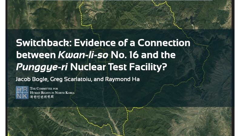
HRNK’s latest satellite imagery report analyzes a 5.2 km-long switchback road, visible in commercial satellite imagery, that runs from Testing Tunnel No. 1 at North Korea’s Punggye-ri nuclear test facility to the perimeter of Kwan-li-so (political prison camp) no. 16.